At Bluesaki AI we ensure exceptional performance and flexibility, enabling organizations of all sizes to boost operational efficiency and optimize processes.
GEO RAG™
GEO RAG AI™ delivers high-speed batch processing of text and images through a SaaS-based Artificial Intelligence and Computer Vision solution. Designed to optimize workflows, it automates text and image metadata extraction, seamlessly integrating the data into vector databases. Built on AWS’s scalable and secure infrastructure, it empowers organizations of all sizes to enhance operational efficiency and achieve greater productivity.
Key Features of our Product:
AI-Powered Metadata Extraction:
Extracts metadata such as asset attributes, geotags, and text from images,
PDFs, and video files.
Seamless Esri Integration:
Integrates directly with Esri’s Survey123, Field Maps, and Geodatabases
(ArcGIS Online or Enterprise).
Cloud-Native Architecture:
Uses serverless, cost-efficient technologies for scalable performance.
Enhanced Data Distribution:
Distributes extracted metadata to relational databases and other systems for
real-time data access.
AWS Infrastructure
Ensures reliability, scalability, and cost optimization through AWS cloud services.
Batch Processing
Supports batch workflows to handle large datasets and associate metadata
across various formats.
Benefits Our Bluesaki AI GEO RAG ™
Operational Efficiency
Reduces manual data entry by up to 75%, saving time
and resources.
Improved Accuracy
Minimizes errors associated with manual entry of image
metadata.
Cost Savings
Optimizes cloud resources to deliver a cost-effective solution.
Scalable for All Organizations
The tool is designed to meet diverse needs from small businesses to enterprise-level operations.
Streamlined Workflows
Complements Esri tools to enhance field operations and data management.
Real-Time Metadata Integration
Provides up-to-date information on asset
conditions and locations.
Use Case: Oil and Pipeline Asset Management
Challenge
Field engineers needed a faster and more accurate way to document the attributes of oil field devices.
Solution
By adopting the Bluesaki AI Feature Image Extractor
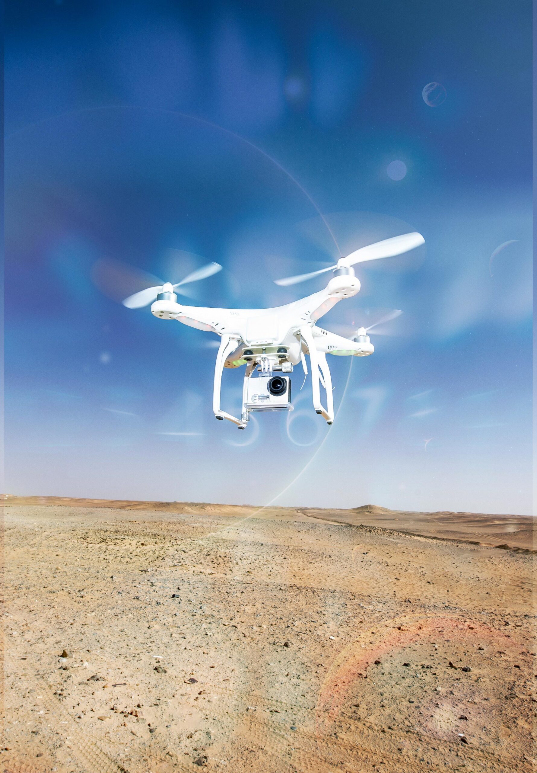
Engineers captured device photos and location data using Esri’s Survey123.
The tool asynchronously processed the images and extracted metadata such as device type, serial numbers, and geotags.
Metadata was inserted into an Esri Geodatabase hosted in AWS via the ApplyEdits API.
Results
Streamlined Field Work, Precise Data Capture More Detailed
75% Reduction in Field Time: Engineers focused solely on capturing photos, eliminating manual data entry.
Enhanced Data Accuracy: Extracted metadata was consistently accurate and reliable.
Scalable Integration: Compatible with both ArcGIS Enterprise and ArcGIS Online services.
What is Bluesaki AI Feature Image Extractor?
Bluesaki AI is a SaaS solution built to increase the efficiency of workflows requiring image metadata for business systems. It eliminates the need for manual data entry, leveraging AI and cloud technologies to extract and integrate metadata seamlessly.
How It Works:
Bluesaki AI: The Future of Efficient Image Data Extraction
Highlighting Key Benefits:
Capture images using Esri apps (Survey123, Field Maps).
Bluesaki AI processes images in the cloud.
Extracted metadata is inserted into your relational databases or Esri Geodatabases.
Core Features:
AI-driven image analysis.
Cloud-native processing.
Batch metadata extraction.
Compatibility with ArcGIS systems.
Core Features
"Transform hours of manual work into minutes of automated processing"
Benefits at a Glance
Streamlined Operations, Superior Results More Detailed
75% faster field operations.
Scalable to projects of any size.
Enhanced data quality and consistency.
Cost-effective, serverless infrastructure.
Utility and pipeline companies.
Municipalities managing public assets.
Construction and field services firms.
"We saved countless hours in the field by simply taking photos Bluesaki AI handled
the rest!"
Michael M.
Project Manager, Energy Sector
let's work together
Our team is eager to hear about your unique challenges and explore how our innovative solutions can streamline your processes. Let's connect and unlock the full potential of your business. Reach out today to schedule a consultation.
SaaS-based Artificial Intelligence and Computer Vision tool designed to optimize workflows by automating image metadata extraction and seamlessly integrating it into business system databases. Built on AWS’s scalable and secure infrastructure, it supports organizations of all sizes and significantly improves operational efficiency.